Unseasonably warm for much of the week
- Mostly cloudy and breezy today
- Rain prospects increase by Thursday
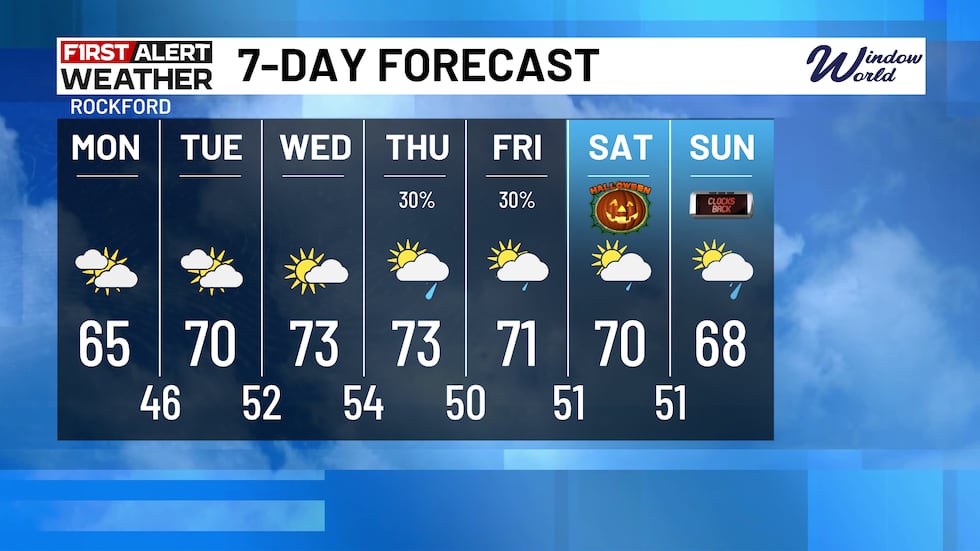
- Halloween looks warm, with a few showers
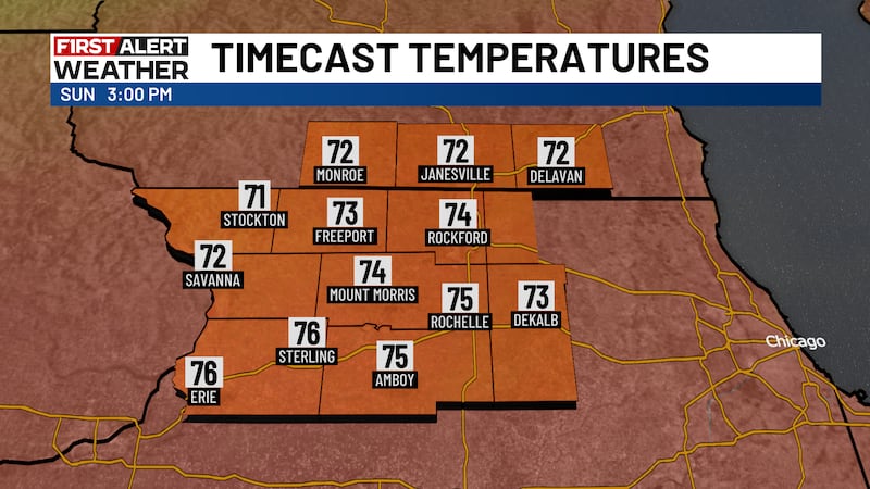
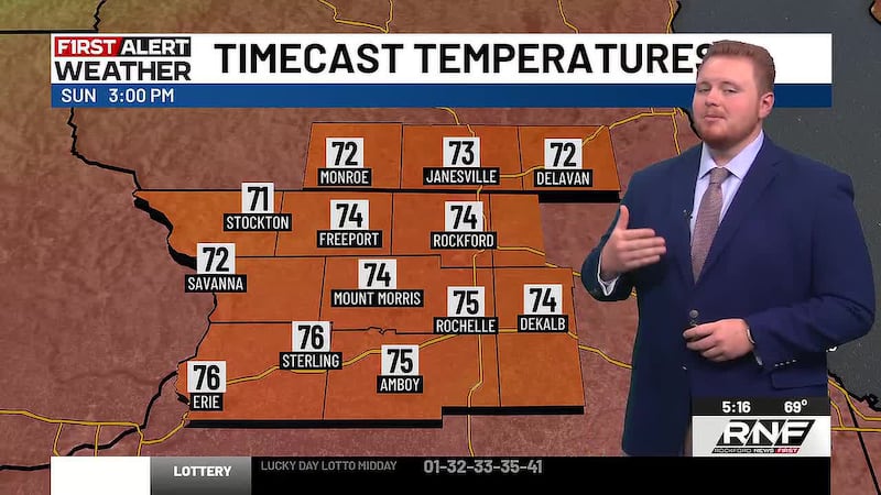
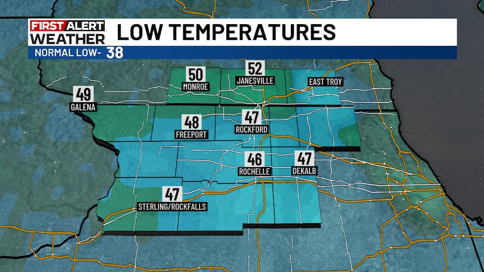
ROCKFORD, Ill. (Rockford News First) - The weekend turned out to be fantastic with temperatures running well above average as they topped out in the mid 70s yesterday. Despite some cloud cover overnight, temperatures were still able to cool into the upper 40s to low 50s across much of the stateline.
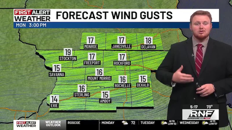
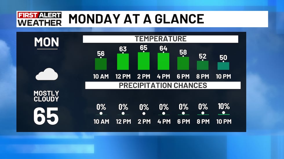
Monday will be slightly cooler under mostly cloudy skies, as a result of a cold front pushing across our area earlier today. Winds will remain out of the northeast with gusts up to 15 mph, which will keep our temperatures in the mid 60s through the afternoon.
Click here for Interactive Radar
What’s Coming Up...
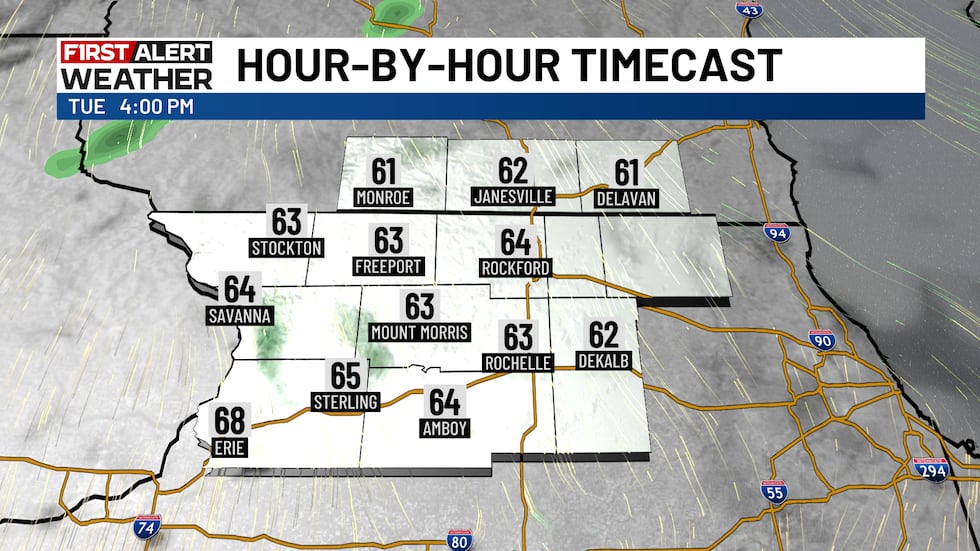
Expect more clouds than sun at times as we progress into our Tuesday. Winds will take more of a southerly turn, resulting in a slight warm up with highs approaching the 70° mark.
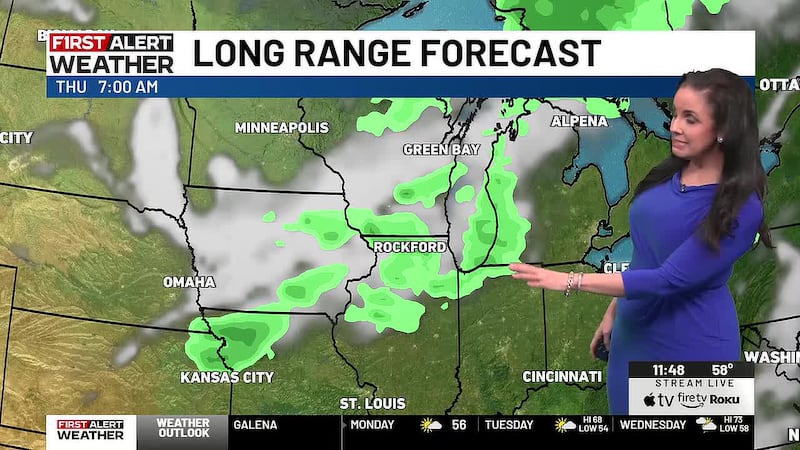
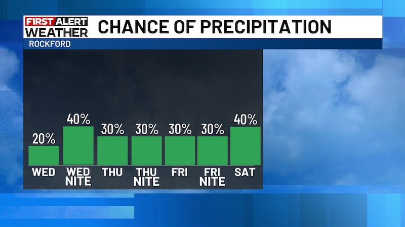
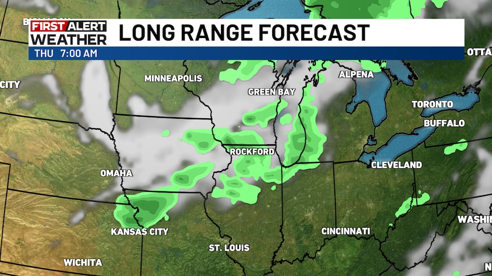
A cold front draped to our north and west, will eventually make it to northern Illinois late Wednesday and into Thursday. This does have a bit more moisture to work with, so scattered showers will remain in the forecast throughout our Thursday. This front will eventually retreat northward as a warm front on Friday, which keeps some of the warmer air locked in place across the Midwest.
Download the First Alert Weather app
Looking Ahead...
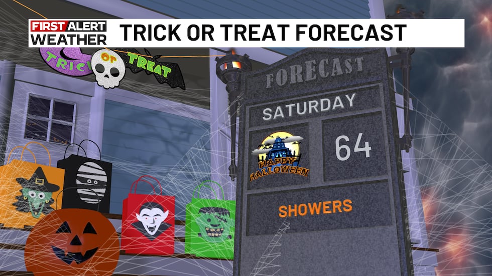
Halloween looks to be fairly mild with temperatures near 70°, with kids having to dodge a few rain drops during the evening.
Don’t forget to “fall back” 1 hour before you head to bed Saturday night, as Daylight Saving Time officially comes to an end early Sunday morning. Heading into early November, temperatures are still trending warmer than average, with precipitation also leaning toward above average.
Copyright 2026 Rockford News First. All rights reserved.